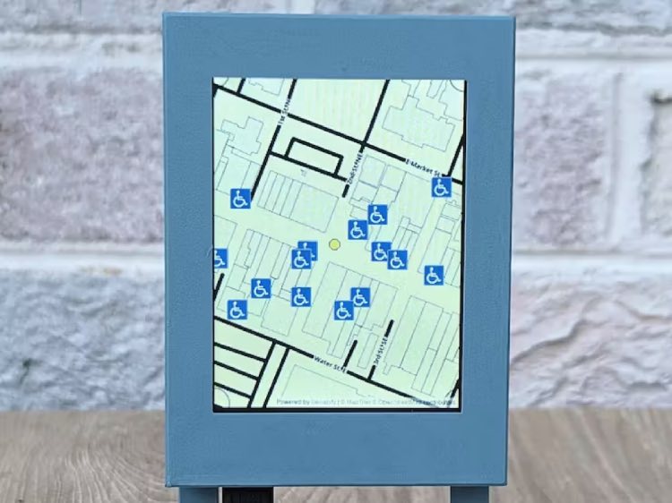
An innovative interactive display has been developed to assist individuals with mobility impairments in finding wheelchair-accessible places. This touch-enabled display, conceptualized by Bob Hammell, dynamically maps accessible locations around a user-defined area. It originated from the Build2gether Inclusive Innovation Challenge, which focused on aiding those with disabilities, particularly in travel contexts. The display was inspired by insights gained from discussions with Contest Masters, a group experiencing daily mobility challenges, on platforms like Discord.
Hammell's solution addresses a significant challenge: discovering wheelchair-accessible public spaces in unfamiliar areas. The display, ideal for installation in pedestrian zones, enables users to interactively explore maps of nearby accessible places. It provides detailed information about each location, including its name, address, and specific wheelchair accommodations. The prototype, a miniaturized version of the proposed full-scale display, includes WiFi connectivity, customizable map location, and detailed accessibility information for each site. It demonstrates the technical feasibility of this innovative approach to assist mobility-impaired individuals in navigating new environments more easily.

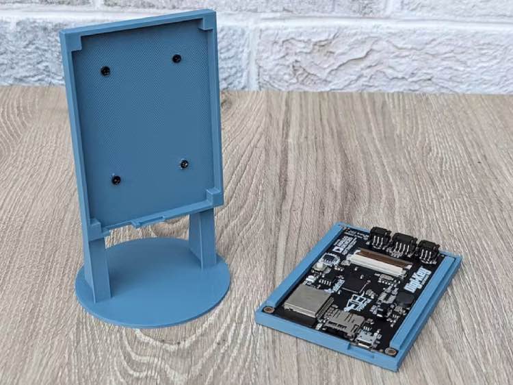
The display utilizes an Adafruit PyPortal board, featuring WiFi connectivity, a color touchscreen, and the ability to run Python scripts. Enclosed in a 3D-printed case, the device can be placed on any flat surface. Upon activation, it connects to WiFi, downloads map images, and searches for accessibility data, displaying a custom map with wheelchair-accessible locations marked. The script for the display, which is available on GitHub, includes default coordinates centered on Charlottesville, VA, but can be customized as needed. The display's design ensures an interactive, user-friendly experience for identifying accessible places, enhancing the travel experience for individuals with mobility impairments.

